
Norbit iWBMS
Typical Operations
- Shallow water bathymetry surveys
- Pipeline and cable route surveys
- Harbor and port surveys
- River, pond and estuary mapping
- Coastal and nearshore surveys
- USV and UUV survey operations
Features
- Integrated multibeam sonar with GNSS-aided INS
- Wideband multibeam technology
- Side-scan, water column and backscatter support
- Integrated sound velocity probe
- Ethernet communication interface
- High-resolution bathymetric performance
Supplied in cooperation with GoSubsea
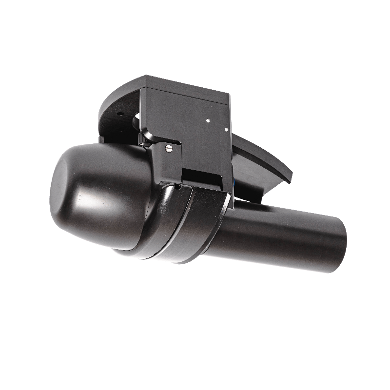
The NORBIT iWBMS is a compact and tightly integrated multibeam sonar system designed for high-resolution bathymetric mapping. The system combines broadband multibeam technology with an integrated GNSS-aided inertial navigation system, ensuring accurate and reliable data acquisition in demanding survey environments.
Built on a flexible wideband sonar platform, the iWBMS supports high-resolution seabed mapping over a wide swath and is suitable for both shallow water and coastal survey operations.
Track record
No posts found!